Collaborative Hydraulics: Advancing to the Next Generation of Engineering (CHANGE)
The Collaborative Hydraulics: Advancing to the Next Generation of Engineering (CHANGE) innovation is encouraging the shift from one-dimensional (1D) to two-dimensional (2D) hydraulic modeling. 2D hydraulic modeling refers to a variety of software programs that provide graphical interfaces and supporting resources that can be applied to infrastructure design. This can provide improved understanding of the complex interactions between waterways and infrastructure. CHANGE is a Federal Highway Administration (FHWA) Every Day Counts Round 4 (EDC-4) and FHWA Every Day Counts Round 5 (EDC-5) innovation that Pennsylvania championed.
How Does It Work?
Recent advances in computer and modeling software, Geographic Information Systems (GIS), and surveying practices have made 2D modeling very efficient and accessible to engineers when designing transportation-related projects. 2D modeling uses thousands of elements to represent floodplain geometry, and computations are done at each element. The 2D models provide more detailed results than 1D models and contain graphic visualization features. They also eliminate many of the limiting assumptions required by 1D models. 2D modeling tools allow for more reliable hydraulic design and more effective collaboration and communication with project partners and stakeholders. In addition, the 3D visualization capabilities of these modeling tools aid in communicating graphical results from a 2D hydraulic model.
What Are The Benefits?
The 2D model offers more accurate representations of bridge openings, span arrangements, roadway profiles, scour countermeasures, and bank protection than the traditional 1D model. This innovation provides better tools for communicating interactions between waterways, the transportation network and the environment. It also allows for a more streamlined project development approach. The results can significantly improve the ability to design safer, more cost-effective, and resilient structures on waterways.
DID YOU KNOW...
• 2D modeling tools allow for more reliable hydraulic design
• 2D modeling enables more effective collaboration and communication with project partners
• 2D hydraulic models calculate depths, velocities, and other necessary design parameters
Innovation in Motion
PennDOT's project champions have received training and participated in a users' forum on this innovation. PennDOT is conducting pilot projects using the Sedimentation and River Hydraulics Two-Dimensional (SRH-2D) model in several PennDOT district offices. As FHWA continues to develop new resources, PennDOT will implement 2D modeling on one hydrologic and hydraulic (H&H) study per year. The project champions are also coordinating with the Pennsylvania Department of Environmental Protection (DEP) and the Federal Emergency Management Agency (FEMA) Region III to identify and resolve regulatory limitations.
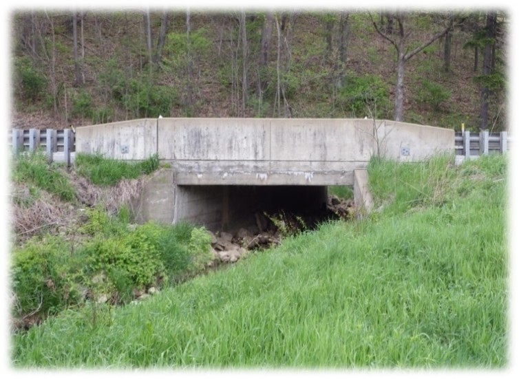
The CHANGE innovation was used on the Cunningham Culverts project in District 10. This project replaced two U.S. Route 422 structures with a twin cell culvert and relocated Curry Run. The H&H study used a 2D finite difference analysis to model the complex hydraulic conditions at the site and better define areas impacted by the project. The proposed stream realignment eliminated the sharp bends upstream of the bridges, reduced overtopping of U.S. Route 422 and significantly improved the hydraulic performance of the crossing.
PennDOT and its contractors used a cutting-edge 2D hydraulic modeling analysis tool to design the 15-span, 14-pier bridge carrying the new Central Susquehanna Valley Transportation (CSVT) expressway over the West Branch of the Susquehanna River between Lewisburg and Sunbury.
The project relied on Two-Dimensional Unsteady Flow (TUFLOW©), a computer program that simulates depth-averaged, 1D and 2D free surface water flows. TUFLOW was used to better model the flow of water around the piers of the structure, which was critical in assessing flooding impacts to surrounding areas.
The hydraulic modeling results demonstrated that the project would cause localized increases in the 100-year flood elevation in the floodway of the West Branch of the Susquehanna River. It also showed that those increases would be localized around the piers, extending only a few hundred feet upstream, rather than several miles as originally indicated by conventional 1D modeling.
More Information
For more information about this innovation, contact the
STIC Management Team.